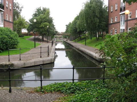
Welland Canal
Ship canal in Ontario, part of the St. Lawrence Seaway.

The Welland Canal is a ship canal in Ontario, Canada, and part of the St. Lawrence Seaway and Great Lakes Waterway. The canal traverses the Niagara Peninsula between Port Weller on Lake Ontario and Port Colborne on Lake Erie, and was built because the Niagara River—the only natural waterway connecting the lakes—was unnavigable due to Niagara Falls. The Welland Canal enables ships to ascend and descend the Niagara Escarpment, and has followed four different routes since it opened.
- opened
- November 30, 1829
- length
- 44 km (27 mi) at first extension
- number_of_locks_current
- 8
- elevation_difference
- 99.5 metres (326 feet)
- annual_cargo
- about 40 million tonnes (88 billion pounds)
- annual_ship_traffic
- about 3,000 ships
- average_transit_time
- about eleven hours
Verified Timeline
Lore & Background
The Welland Canal was built to bypass the unnavigable Niagara River, which is blocked by Niagara Falls. The first canal was excavated between 1824 and 1829, opening on November 30, 1829, with 40 wooden locks. It ran from Port Dalhousie on Lake Ontario south along Twelve Mile Creek, then up the Niagara Escarpment through Merritton and Thorold to Port Robinson on the Welland River, and then to Chippawa on the Niagara River. A southern extension to Port Colborne on Lake Erie opened in 1833. The Second Welland Canal, built between 1841 and 1845, used stone locks and had greater width and depth; it operated until 1935. The Third Welland Canal, built between 1872 and 1877, was deeper and wider still, with 26 masonry locks, and also closed in 1935. The Fourth Welland Canal, which remains in operation, began construction in 1913 and was completed in 1932, with eight locks and a depth of 7.6 m (25 ft). The canal passes about 3,000 ships transporting about 40 million tonnes of cargo a year, and was a major factor in the growth of Toronto.
Reader's Guide
The Welland Canal was a major factor in the growth of the city of Toronto, Ontario. It allowed goods from Great Lakes ports such as Cleveland, Detroit, Milwaukee, and Chicago, as well as other heavily industrialized areas of the United States and Ontario, to be shipped to the Port of Montreal or to Quebec City, where they were usually reloaded onto ocean-going vessels for international shipping. The canal eclipsed other, narrower canals in the region, such as the Trent-Severn Waterway and the Erie Canal, by providing a shorter, more direct connection from Port Colborne on Lake Erie to Port Weller on Lake Ontario. Its successive reconstructions accommodated larger vessels and quicker navigation, reducing the number of locks from 40 in the first canal to eight in the current one. The canal's southern terminus on Lake Erie is 99.5 metres higher than its northern terminus on Lake Ontario, and it takes an average of about eleven hours for a ship to traverse the canal.
Did You Know?
- The first canal had 40 wooden locks, while the current canal has only 8 locks.
- The southern terminus on Lake Erie is 99.5 metres (326 feet) higher than the northern terminus on Lake Ontario.
- The Garden City Skyway limits ship mast height to 35.5 m (116 ft).
- The maximum permissible length of a ship in the canal is 225.5 metres (740 feet).
- The Welland Canal's first 'hands-free' vacuum mooring was tested in Lock 7 prior to 2014.
Frequently Asked Questions
What is the Welland Canal?
It is a ship canal in Ontario, Canada, linking Port Weller on Lake Ontario to Port Colborne on Lake Erie. It operates as part of the St. Lawrence Seaway and the broader Great Lakes Waterway.
Why was the Welland Canal built?
The Niagara River, the sole natural connection between the two lakes, was impassable because of Niagara Falls. The canal was constructed so that vessels could bypass the falls and cross the Niagara Escarpment safely.
How many locks does the Welland Canal have today?
The current route contains eight locks that together manage a total elevation change of roughly 99.5 metres (326 feet) between the lake levels.
How much cargo and ship traffic does the Welland Canal handle each year?
Approximately 3,000 vessels transit the canal annually, moving around 40 million tonnes (88 billion pounds) of cargo.
When did the Welland Canal first open, and has its route changed since?
The original canal opened on November 30, 1829. Since then the waterway has been rebuilt and rerouted four times, with the present alignment measuring about 44 km (27 mi) at its first extension.
More in Canals And Waterways 25-36
Elsewhere in the Canals And Waterways universe
Spotted an error? Know more?
This is a living reference — every entry is fact-audited, and reader corrections feed straight into our audit queue. Suggest an edit · See this site's audit record